Agriculture and Plant Health Analysis
Using drone technology to manage your crops can save time and money while increasing crop yield. Maps generated from aerial imagery can identify and target troublesome areas of stress to be ground truthed. Using near infrared and red edge sensors, NDVI maps are created to provide your team the data needed to maximize your team's ability to provide consistent healthy crops.
Plant Health and STRESS MANAGEMENT
Using NDVI analysis and data, your team can now identify areas that are beginning to show signs of stress before the naked eye can visualize stress or disease. Ground truthing, by taking soil and/or tissue samples will enable your team to target applications based on need conserving chemicals and protecting the environment
These preventative measures will produce significant benefits to the health of your crop and ultimately may help improve crop yields.
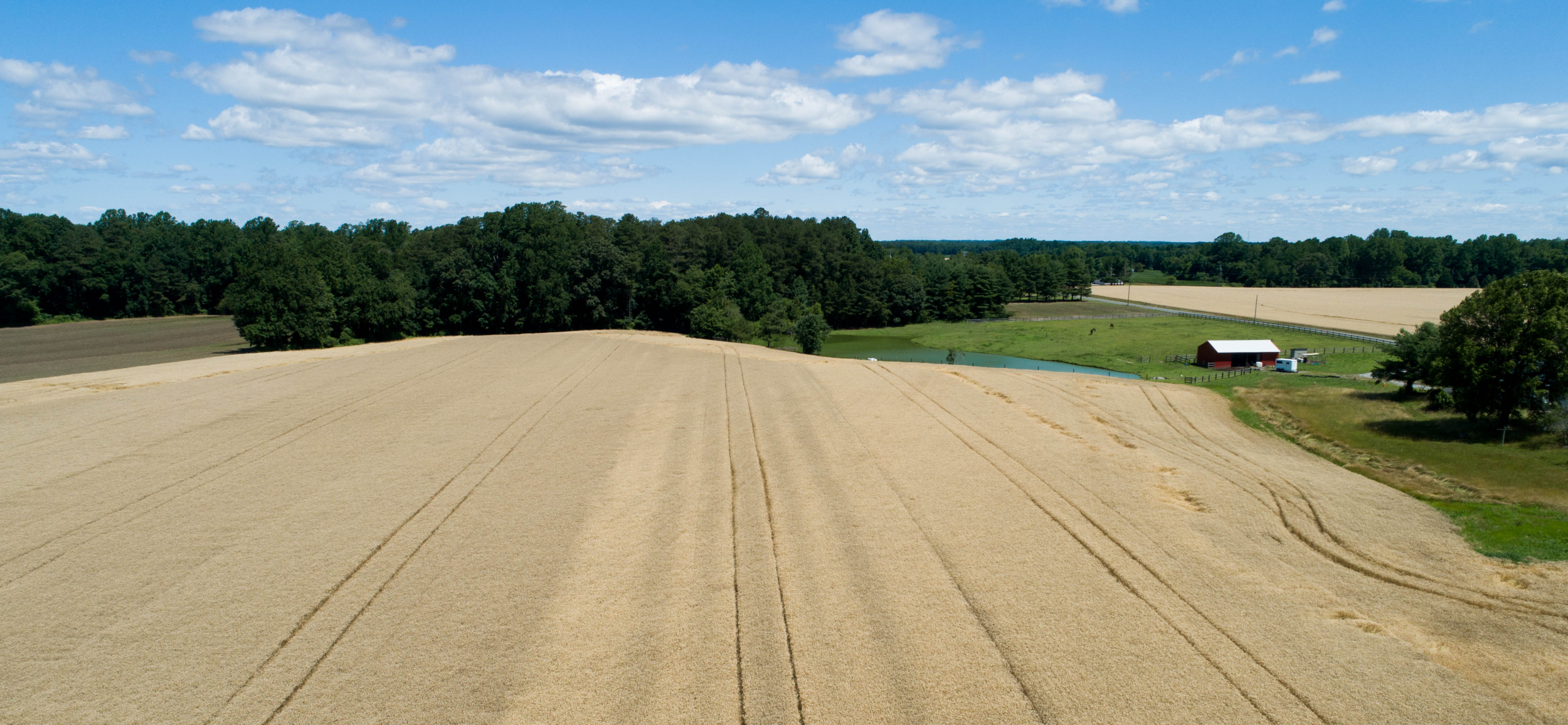
Scouting and Row Crops
Using aerial imagery and NDVI maps, growers can significantly reduce the amount of time your team spends on scouting. The entire property can now be scouted indoors with targeted scouting being completed based on geolocated "target/watch areas" that can be navigated to via your mobile device. Track and manage soil and tissue samples to better determine the best inputs to improve your yields.
It's time to work smarter, not harder!
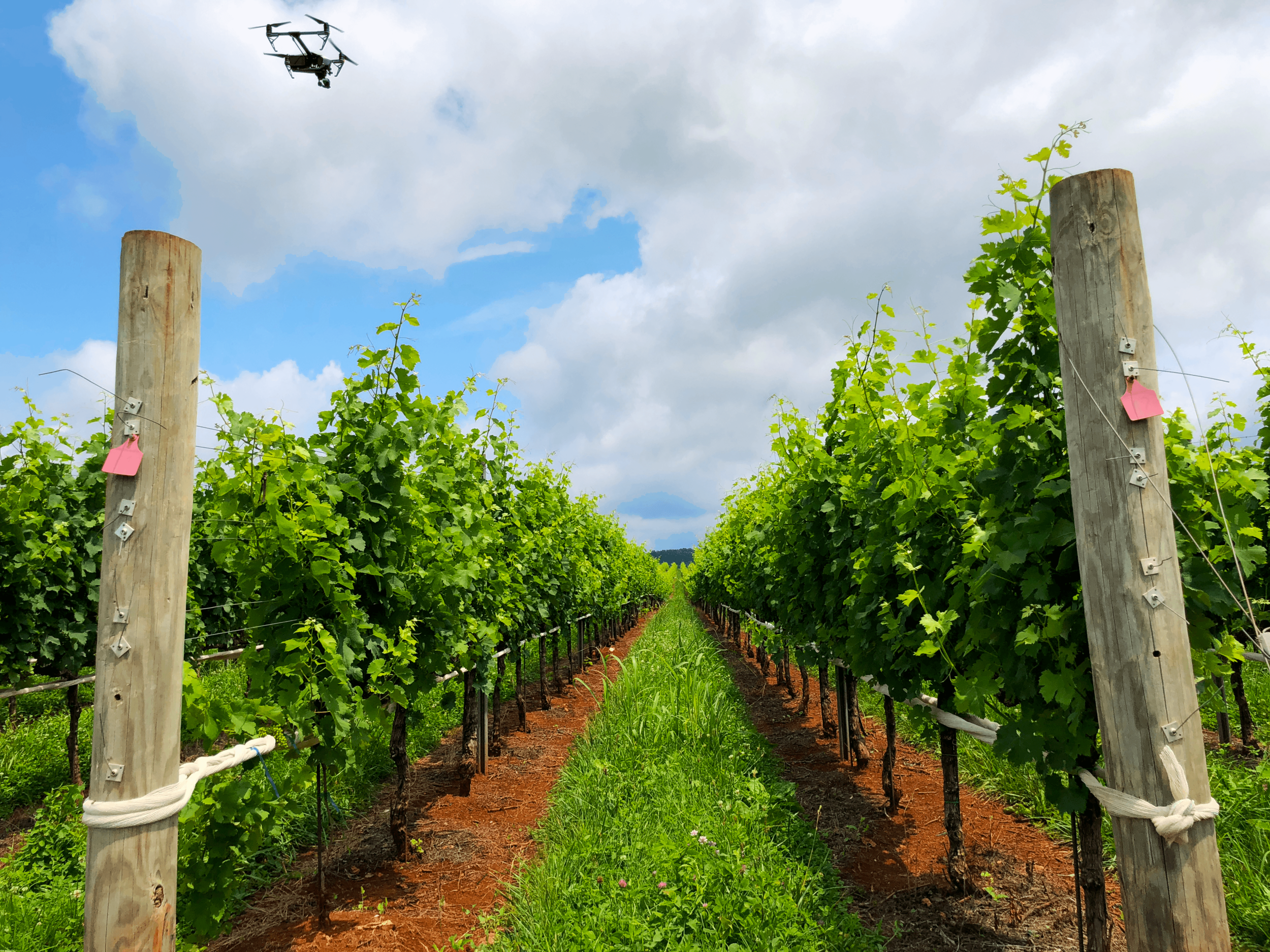
Vineyard Management
Using drone technology to manage your vineyard enables the grower to precisely scout areas of stress by targeting each row and maximize your time in the field. No longer must you treat at the block level as NDVI and high resolution imagery directs you to specific areas of concern to collect precise soil and tissue samples at the row level. All resulting in a higher yield and more consistent grapes.